
Active & Strong NW then W/SW later next week - wind/rain/snow potential
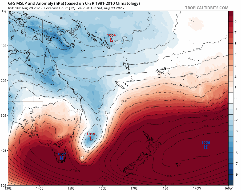
MSLP Anomaly show anomalies for pressure anomalies for the rest of the month
A brief and Early Outlook
It’s still early days, but current models continue to point towards an active spell of weather as August wraps up and September begins. A strong northwesterly flow looks likely to set in later this month, bringing heavy rain to the West Coast and strong to gale-force winds out east.
❄️ Looking Ahead
Further out, and with the reminder that forecasts this far ahead can change with each new model run, the latest guidance suggests a shift to a west to southwest flow in early September. This could bring the risk of snowfall across parts of the country. Whether this turns into a low-level snow event or remains confined to high-country and hilltop areas should become clearer in the coming days.
Keep Updated
Our forecasters at sima.co.nz are monitoring these developments closely, and an active, unsettled end to the month is looking more and more likely. Keep an eye on sima.co.nz for the latest updates, and check out our new 5-day town forecasts covering more than 20 South Island locations.
— The Sima.co.nz Team