
Big Low Pressure System Over Aussie Heading Towards South Island
A large low pressure system is currently making its way across South Australia today (Friday) and is due to cross over Victoria and the Tasman Sea over the weekend and into Monday. The Australian Bureau of Meteorology has issued wind warnings for many areas in South Australia and Victoria. While heavy rain is not a major concern for both states it could cause some concerns for western regions of the South Island come next week.

As the low crosses the Tasman Sea, the high, east of New Zealand creates an anticlockwise wind flow pushing wind and moisture above New Zealand in a northeast direction. The low rotates clockwise so wind and moisture is heading in a west/northwest direction over Australia. This will create a “atmospheric river” when both wind patterns collide sending precipitation and wind south.
The continuation of the low progressing east will push the precipitation over western and northern regions of the South Island. There is still a large amount of uncertainty how exactly everything will pan, or if it will eventuate but model guidance has continued to remain unchanged with each forecast update.

Rain could arrive in Fiordland as early as Monday morning spreading up into Westland, Buller and Tasman and Nelson. Then clearing by Wednesday afternoon. Total rainfall accumulations are still uncertain at this stage.
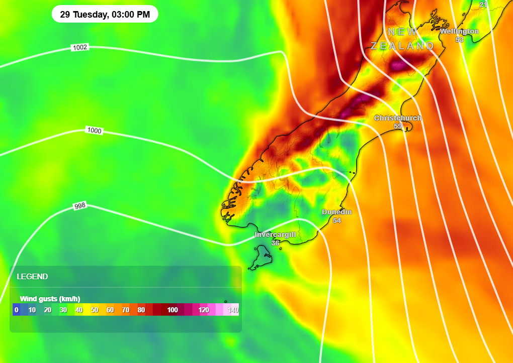
As well as this heavy rain, severe winds could impacts coastal areas of Fiordland through to Golden Bay. Inland areas of Fiordland, Westland, Canterbury High Country and inland Marlborough could see winds exceed 90km/h in exposed areas and valleys.
Useful Links:
Special Weather Statements could be issued in the days ahead if this weather system continues to develop.