
A settled week ahead, but more storm/snow chances on the horizon
After what has felt like one weather system after another, with hardly any respite in between, Sima.co.nz is now forecasting a mostly settled, yet frosty period of weather for the South Island throughout the coming week. This is expected under a stable block of high pressure. However, it’s important to remember that it is still winter, and the next significant shock to the weather system may be just around the corner.
Where are we headed now? The South Island looks clear and mostly calm for the next 5-6 days. Days will be mild, but mornings may bring frost, possibly quite strong in usual sheltered spots.

Rainfall Anomaly: July 27th - August 4th
Although we are not expecting severe weather across the South Island, it is best to keep an eye on our Significant Weather Outlook for daily updates. Also keep an eye on Snow Cast (if you are not a member sign up now!)

Rainfall anomaly (middle image) for the first 19 days of June shows 200-400% of normal rain in the Upper South Island, with drier conditions in other areas.
The next weather system we are keeping a close eye on will originate from the Tasman Sea as early as next weekend, with the usual western spots most exposed to possible heavy rain. We are closely monitoring this development. Following the passage of the next weather system, likely a frontal system, snow potential increases, especially in the deep South and central High Country - too far out, so nothing is yet confirmed.
In terms of snow, we are not expecting much in the way of new snow for our Ski Fields, and although not the best news for those operating in the field, cold, frosty conditions at altitude should make snow making feasible.
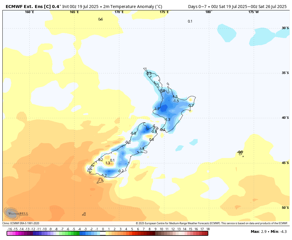
Temperature Anomaly: July 20th - July 27th