
Snow, Rain And Wind Chill: Your End Of Week Forecast
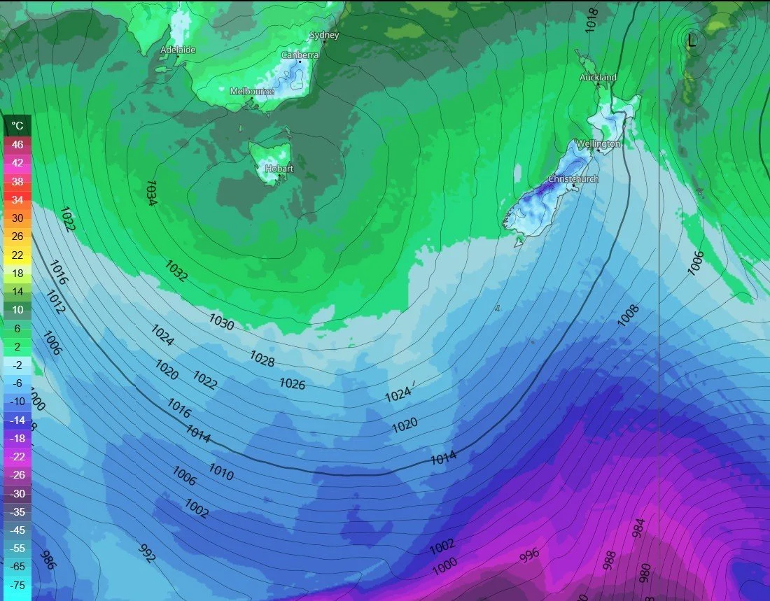
A high pressure system rotating anticlockwise is positioned over Tasmania, while a low pressure system intensifies in the Ross Sea throughout Thursday and Friday. This development will drive cold polar air, along with rain and snow, northward onto the South Island. On Friday and Saturday, temperatures will begin to drop significantly as the cold front pushes through the region. South to southwest winds are expected to strengthen, which could cause temperatures across the South Island to feel considerably colder than the already chilly single-digit readings currently forecasted. By Sunday, however, temperatures should begin to rise gradually as the cold air mass and frontal system move away from the country, leading to a slight easing of the chilly conditions.
Wind chill temperatures
Along with the wind chill, a weather front is set to bring rain or showers to Southland, Otago, and Canterbury. The initial front is likely to begin moving up the South Island on Friday morning, reaching Wellington by the evening. Due to the initial southwest wind direction, Coastal Otago will remain mostly unaffected, while Southland and inland Otago will experience rain and heavy snow showers, especially over the hills. Early Friday afternoon, the wind direction shifts to a southerly flow, pushing colder air and increased precipitation over Mid Canterbury, North Canterbury, and Banks Peninsula. This change will likely lead to a noticeable drop in temperatures and more persistent wet conditions across these areas.
Snow:
The coldest air is not expected to arrive in Southland and Otago until Saturday morning, making its way into Canterbury by the afternoon and continuing through the evening. Since the coldest air is arriving on Saturday while the majority of the precipitation is forecasted for Friday, this will keep the snowline above 400 meters. Although showers will persist into Saturday for Southland and Coastal Canterbury, only minimal snow accumulations are likely below the 400m elevation mark.
For more detailed day by day snow reports subscribe to our Snow Cast Use the code 25OFF for 25% off for the remainder of the winter season (September 30th)
The map below shows rain or showers in blue and snow in green.
