Westerly Foehn Winds Influence Early Spring Weather
A westly airflow driven by low pressure systems will continue to influence our weather patterns over the next seven days or so, into the middle of September. Wind flow could vairy in direction depending on the position of each low pressure system but are likely to stay between northwest, west or southwest. There is the potential for significant wind gusts especially around alpine areas of the Southern Alps and coastal Southland and Otago if the low pressure systems travel eastwards below Stewart Island.
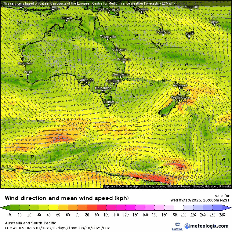
Next 7 day wind direction with directional arrows
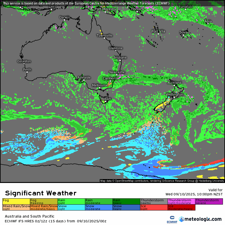
Due to this westerly pattern, foehn winds will keep most of the incoming rain and potential thunderstorms to western areas of the South Island. Foehn winds simply put is a phenomenon that requires a unique geographical features just like the Southern Alps. Incoming fronts from the Tasman sea drop rain over Buller, Westland and Fiordland, sometimes into high country areas of Otago and Canterbury while the Southern Alps act as a barrier keeping everything but the wind from crossing over. These winds tend to be dry, often warm and occasionally come will spillover rain or showers.

Along with the westerly winds, rain and snow will be the main active weather features. We have seen an increasing snowline in the last few weather events and expect this trend to continue, however it is not uncommon for snow to fall to lower levels in September. Below is a map for the next seven days with the type of significant weather this particular model is currently predicting. Foehn winds look to be keeping most of the rain confined to west and south of the South Island with eastern areas remaining mostly dry.